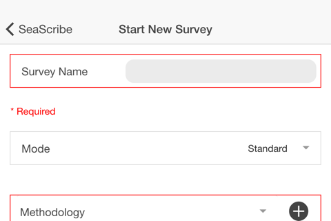
SeaScribe is a data collection tool for offshore wildlife surveyors that is specifically designed to make surveying efficient and to standardize data entry and output.
SeaScribe provides an easy to use, intuitive application for the collection of wildlife survey data including georeferenced effort and observation data. SeaScribe captures environmental conditions and behavioral information alongside details of each geo-referenced wildlife observation using internal or external GPS function.
It features efficient data entry screens with core data fields and the ability to create and use customized data fields. Digital photographic images and audio clips from onboard cameras and microphones can be tagged to specific observations and locations. Data can be exported in JSON or comma separated value (CSV) file format and submitted along with tagged image or audio clips via email or Dropbox. A reporting tool is also available for summarizing survey data by transect or survey and is available for screen view and exporting.
Features
• Collect geo-referenced observation and effort data for wildlife surveys
• Dynamic mapping of transect/track and current survey observations with the ability to cache map background for use offline
• Data viewable and editable while actively collecting data
• Ability to develop and retain survey protocols
• Ability to add, delete, or customize data fields
• Export data as JSON and CSV files using email or Dropbox

